 Park of China
Overview
| Designation | UNESCO World Heritage (natural, 2007) National Park of China (fourth batch) |
| Province | Chongqing |
| Location | From Haokou to Jiangkou, Wulong District, Chongqing |
| Latitude, longitude | 29.2, 107.9 Google Maps |
| Highlights | Gorge and forest |
| Area | 150 km² |
| Length | 35 km |
| Nearby cities | Fuling (Chongqing) |
| Nearby sites | Mount Jinfo 71km, Simian Mountains 157km, Mount Jinyun 159km, Fanjingshan 169km, Mengdong River 197km Search nearby |
| Themes | River, Karst, Canyon, Forest, Rafting & boat trips |
About
The Furong River scenic area in Wulong District, Chongqing, runs 35 km from Zhuzi Creek at Haokou to Jiangkou, where the Furong joins the Wu River, 150 km² of small-scale, richly varied karst gorge and primeval forest on the water.
South China Karst, comprising Shilin in Yunnan, Libo in Guizhou and Wulong in Chongqing, was inscribed as a World Natural Heritage Site on 27 June 2007.
It is in the fourth batch of national parks of China (national scenic areas) named by the State Council in 2002.
Travel tips
Getting there: from central Chongqing take the Chongqing–Xiamen high-speed line to Wulong South, or a train or bus to Wulong town, then a bus or taxi to the Jiangkou area, about half an hour from town.
Furong Cave: on the hillside above the river near its mouth, the main sight here. A lit path loops through the cave in about an hour; it is cool and damp all year and the floor can be slippery.
On the river: the lower Furong River runs through a forested gorge, and boats cover part of it; departures can be far apart, so plan around the sailing times.
Nearby: the Three Natural Bridges and the Houping sinkholes, part of the same Wulong World Heritage area, and Fairy Mountain (Xiannüshan) are all in Wulong and can be combined.
Time: half a day to a day for Furong Cave and the river; two or three days with the Three Natural Bridges and Fairy Mountain.
Season: spring and autumn are best; summer is hot, though the cave stays cool; in the rainy season the river is muddy and boat trips may be affected.
Where to stay: most visitors stay in Wulong town or Xiannüshan town.
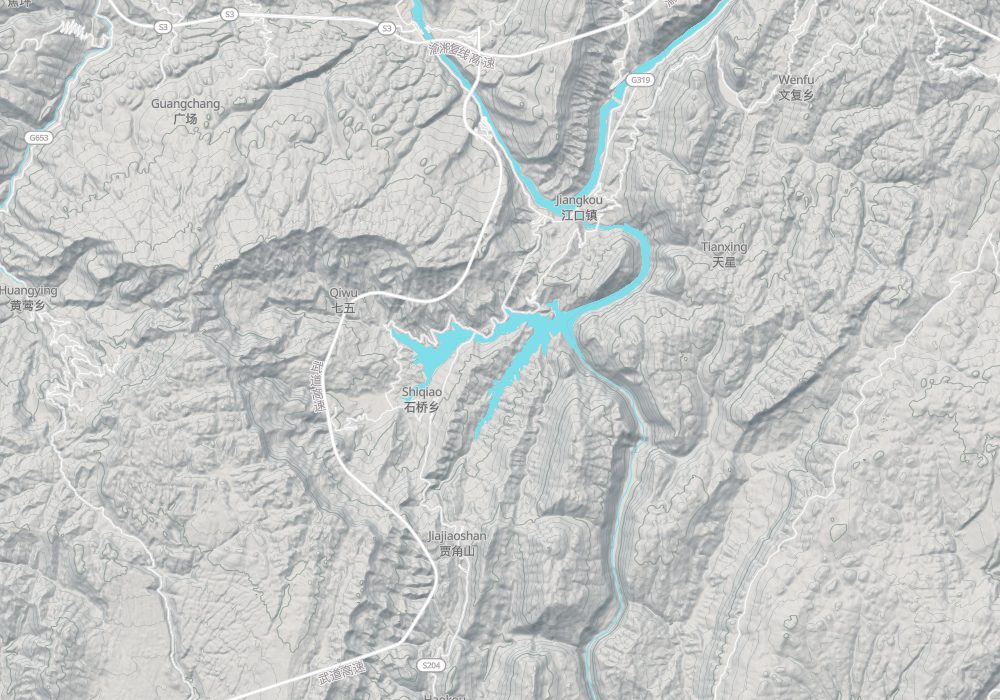
Map
Nearby
| World Heritage | Mount Jinfo 71km, Tangya Tusi Chengzhi 121km, Fanjingshan 169km, Tusi Sites 189km |
| National parks | Wu River Gorges, Yanhe 87km, Liye and Wulong Mountain 140km, Simian Mountains 157km, Mount Jinyun 159km |
| AAAAA attractions | Wulong Karst Tourist Area 14km, Ayi River Scenic Area 25km, Zhuoshui Scenic Area 87km, Heishan Valley Scenic Area 92km |
| AAAA attractions | Longshui Gorge Ground Fissure 20km, Chiyou Jiuli City 26km, Moweishan Mountain 26km, Wuling Mountain National Forest Park 43km |
| UNESCO Global Geoparks | Enshi Grand Canyon-Tenglongdong Cave UNESCO Global Geopark 191km, Xiangxi UNESCO Global Geopark 197km |
| Cities | Chongqing 136km |
| National geoparks | Qianjiang Xiaonanhai National Geopark 95km, Youyang National Geopark 97km, Wansheng National Geopark 97km, Qijiang National Geopark 118km |