Beihai, Guangxi 广西北海

Location: China, Guangxi, Beihai Google Maps Amap
Part of: National Historical and Cultural City
Nearby: Crocodile Hill, Weizhou Island, Guangxi ↓︎51km, Huguangyan →︎126km, Nanning ↖︎171km, Haikou ↘︎203km, Huashan, Ningming ←︎234km, Zuojiang Huashan Rock Art Cultural Landscape ←︎234km, West Mountain of Guiping ↗︎235km, Leizhou, Guangdong ↘︎118km, Detian Falls ↖︎291km, Hainan Tropical Rainforest National Park ↓︎292km

Beihai lies at the southern tip of Guangxi on the northeastern shore of the Gulf of Tonkin. Hepu, within its bounds, was one of the starting ports of the Han-dynasty Maritime Silk Road and has large groups of Han tombs. After the port opened to foreign trade in the late Qing, consulates and trading houses went up in Western style, and the old street is lined with arcaded buildings mixing Chinese and Western forms. Silver Beach is on the coast, and offshore Weizhou Island is a volcanic island. Beihai became a National Historical and Cultural City in 2010.

南宁海口湖光岩花山桂平西山德天瀑布海南热带雨林国家公园广东雷州涠洲岛鳄鱼山广西北海湛江茂名玉林梧州钦州贵港防城港崇左儋州海口美兰北海福成湛江吴川浦北县灵山县廉江那良镇吴阳镇中和镇定城镇合浦汉墓群100 kmParkofChina.com
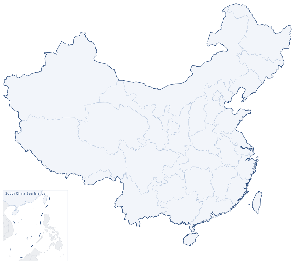
Sights around Beihai, Guangxi (straight-line distances). Search nearby