Wuwei, Gansu 甘肃武威

Location: China, Gansu, Wuwei Google Maps Amap
Part of: National Historical and Cultural City
Nearby: Xining ↙︎164km, Wushaoling, Tianzhu, Gansu ↓︎84km, Shapotou →︎214km, Badain Jaran Desert - Towers of Sand and Lakes ↑︎220km, Lanzhou ↘︎235km, Qinghai Lake ↙︎251km, Tu Homeland Garden, Huzhu, Qinghai ↙︎136km, Western Xia Imperial Tombs →︎298km

Wuwei lies in central Gansu at the eastern end of the Hexi Corridor. Known in the past as Liangzhou, it became Wuwei Commandery in the Han dynasty and was a major town on the Silk Road. The bronze Galloping Horse (Horse Treading on a Flying Swallow), unearthed from the Han tomb at Leitai in the north of the city, is the emblem of Chinese tourism. In the city is the Wuwei Confucian Temple; to the south are the Tiantishan Grottoes. Wuwei was named a National Historical and Cultural City in the second group.
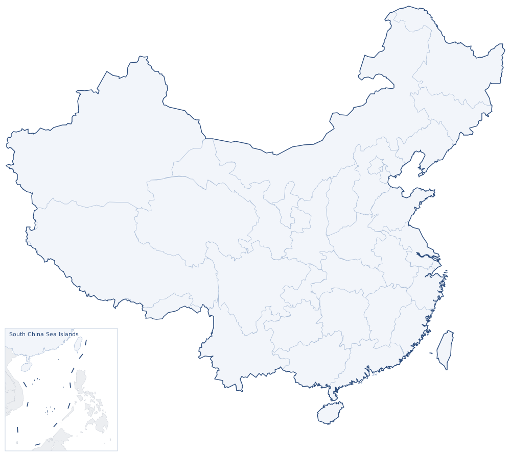

西宁兰州沙坡头巴丹吉林沙漠青海湖西夏王陵甘肃天祝乌鞘岭土族故土园甘肃武威石嘴山白银张掖固原海东吴忠金昌阿拉善海晏共和金昌金川西宁曹家堡永昌县民勤县门源县大靖镇连城镇红城镇青城镇街子镇炳灵寺石窟(丝绸之路)须弥山石窟天梯山石窟旱滩坡墓群100 kmParkofChina.com
Sights around Wuwei, Gansu (straight-line distances). Search nearby