Park of China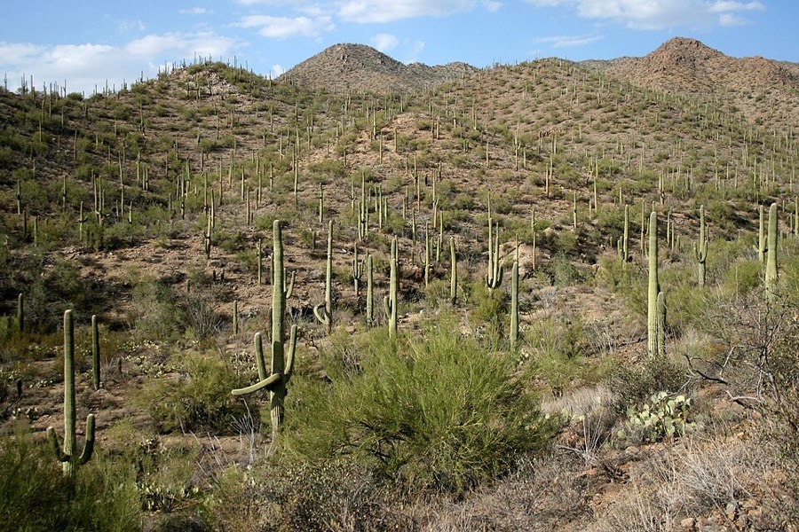
Overview
| Designation | US National Park |
| Location | Southern Arizona |
| Latitude, longitude | 32.2, -111.0 Google Maps |
| Nearby sites | The 20th-Century Architecture of Frank Lloyd Wright, Grand Canyon National Park, Petrified Forest National Park, White Sands National Park |
| Highlights | Cacti |
| Area | 91,400 acres |
| Nearby cities | Tucson AZ |
| Themes | Plant, Desert, Hiking & climbing, Scenic drives |
About
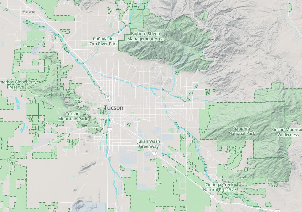
Saguaro National Park is in southern Arizona, on the edge of Tucson, near the Mexican border.
The park has two parts, one east of Tucson and one west of it.
Travel tips
The two districts: The park is in two parts on either side of Tucson: the Rincon Mountain District in the east and the Tucson Mountain District in the west, about 40 minutes apart by road.
Getting there: Tucson International Airport is within about half an hour of both districts. Most visitors rent a car; no public transport runs to the park.
East district: The east has the visitor center and the Cactus Forest Drive, through dense stands of saguaro, and trails leading up into the Rincon Mountains.
West district: Part of the Bajada Loop Drive is gravel; the Signal Hill trail ends at petroglyphs made by the Hohokam.
Time: Half a day suffices for each district; a full day lets you see both.
Season: October to April is pleasant. Saguaros flower from late April to June, the blossoms opening on the arm tips mainly in the early morning and evening; summer temperatures often exceed 40 C.
Where to stay: There are no hotels in the park and only permit-only backcountry camping in the east; lodging is in Tucson.
Caution: In summer finish walks soon after sunrise and carry plenty of water; do not touch cacti, as the spines are hard to remove.
Map