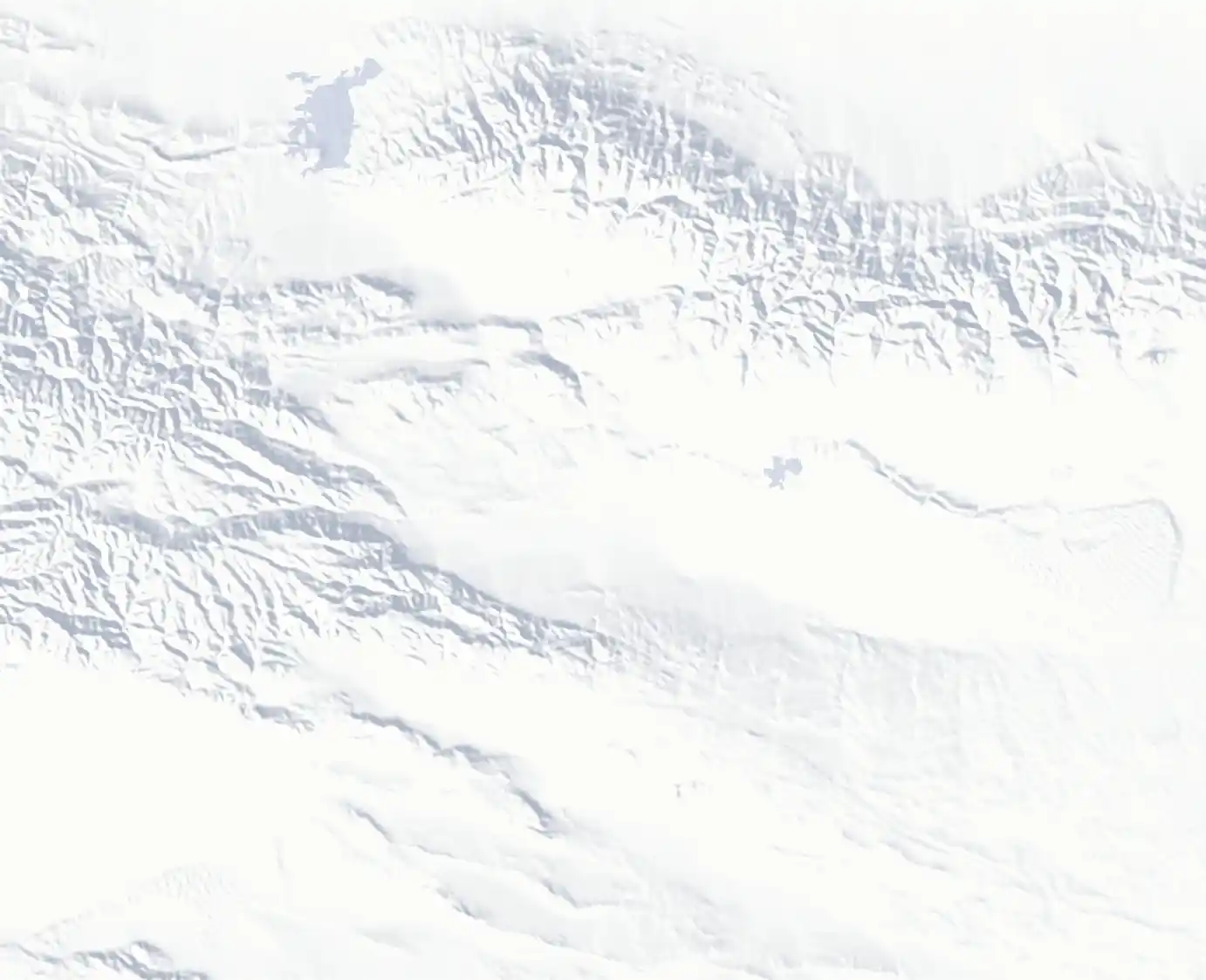
Turpan, Xinjiang 新疆吐鲁番

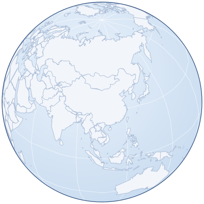
Location: China, Xinjiang, Turpan Google Maps Amap
Part of: National Historical and Cultural City
Nearby: Grape Valley (Putaogou) ↗︎8km, Jiaohe Ruins ←︎10km, Gaochang Ancient City, Turpan, Xinjiang →︎30km, Kumtag Desert →︎85km, Heavenly Lake of Tianshan ↖︎136km, Ürümqi ↖︎158km, Jiangbulake, Qitai, Xinjiang ↗︎91km, Bosten Lake ↙︎221km

Turpan lies in the Turpan Basin in eastern Xinjiang, the lowest-lying place in China and the hottest in summer. In ancient times it was a key stop on the Silk Road: the Jiaohe Ruins to the west and Gaochang Ancient City to the east are both part of the Silk Roads World Heritage Site. The Flaming Mountains, the karez wells and Grape Valley are also in the area. It was added to the National Historical and Cultural Cities in 2007.
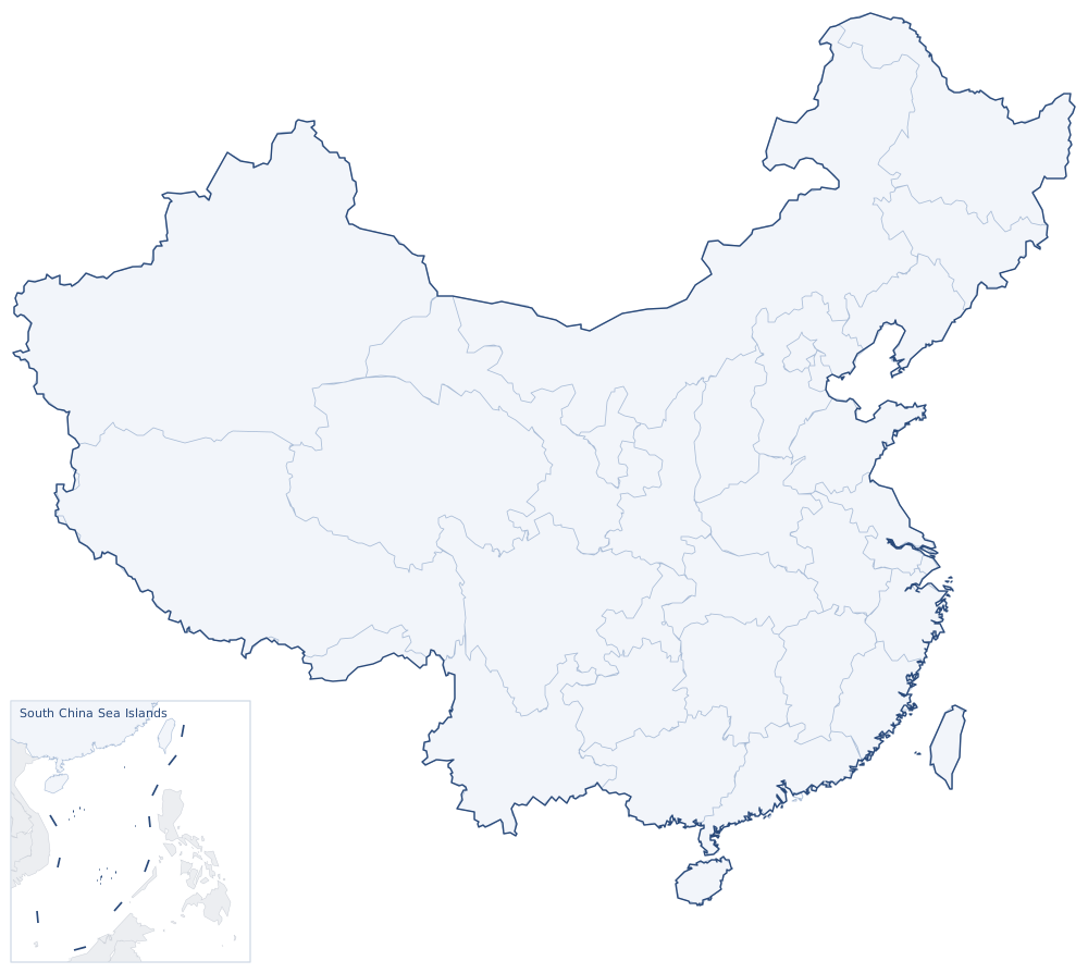
乌鲁木齐葡萄沟库木塔格沙漠天山天池博斯腾湖江布拉克交河故城高昌故城昌吉乌鲁木齐天山吐鲁番交河鄯善托克逊县吉木萨尔县奇台县鲁克沁镇50 kmParkofChina.com
Sights around Turpan, Xinjiang (straight-line distances). Search nearby