Changle Volcano Geopark 昌乐火山地质公园
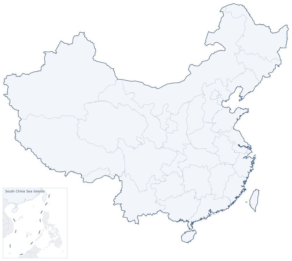
Changle Volcano Geopark lies in the south of Changle County, Weifang, Shandong. It has qualified as a national geopark and has two sections, Qiaoguan and Tuanshanzi. The Changle area is a field of Cenozoic basalt volcanoes: repeated eruptions left cones, craters and volcanic necks, most of them now worn down to low, rounded hills.
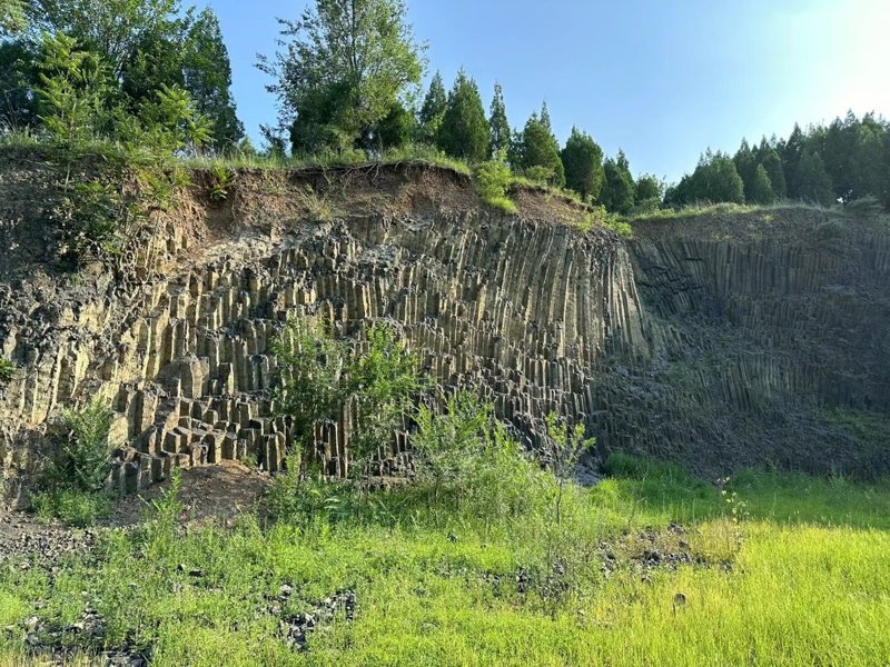
At Qiaoguan a section through a volcanic conduit lies open. As the lava cooled it shrank and cracked into many-sided basalt columns, some upright, some lying at an angle, some radiating from a centre like the petals of a flower. Tuanshanzi preserves an ancient volcanic neck, where a cross-section of the magma conduit can be seen.
Changle is known for its sapphires. The crystals were carried up from deep underground by basalt magma; when the rock weathered, they were left behind in the soil and in the gravels of streams. Changle sapphires tend to be dark, mostly deep blue, and the area is one of China's main sources of sapphire.