Park of China
Overview
| Designation | US National Park |
| Name | Pinnacles National Park |
| Established | 2013 |
| Location | Central California (San Benito County) |
| Nearby cities | San Francisco |
| Nearby sites | Yosemite National Park 194km, Sequoia and Kings Canyon National Parks 213km, Channel Islands National Park 296km Search nearby |
| Latitude, longitude | 36.49, -121.17 Google Maps |
| Themes | Peak, Stone, Cave, Hiking & climbing, Night sky & aurora |
About
Pinnacles National Park is in central California. It became a US national park in 2013.
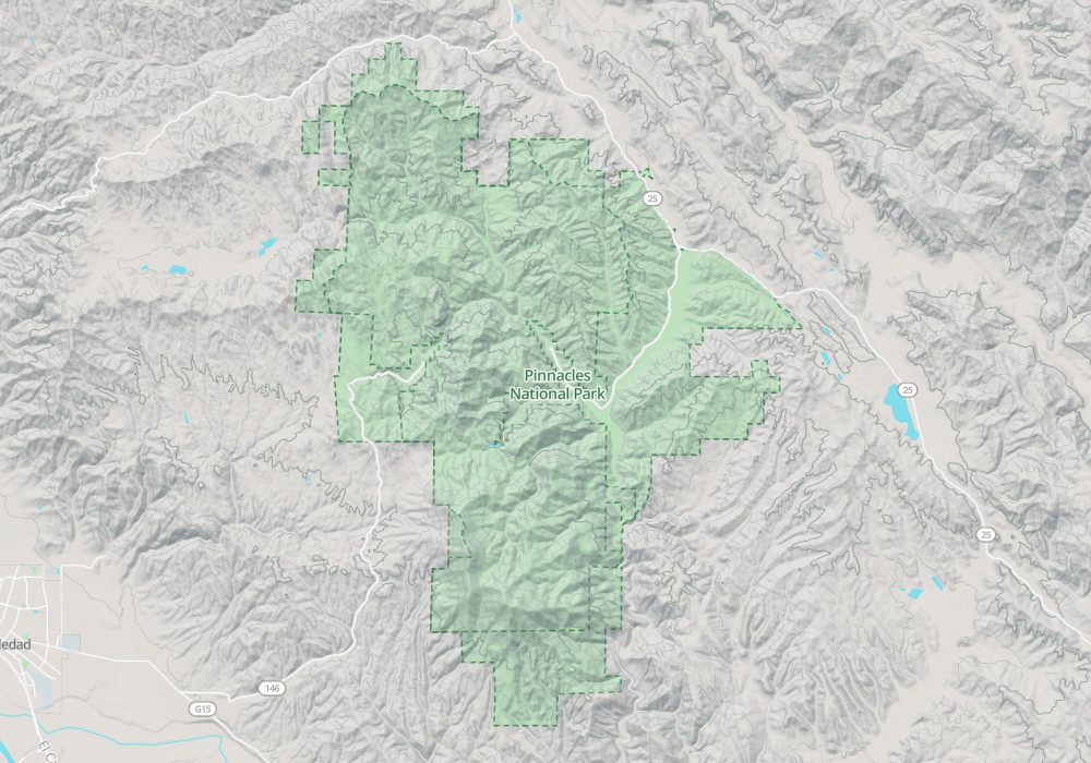
Visitor map
Travel tips
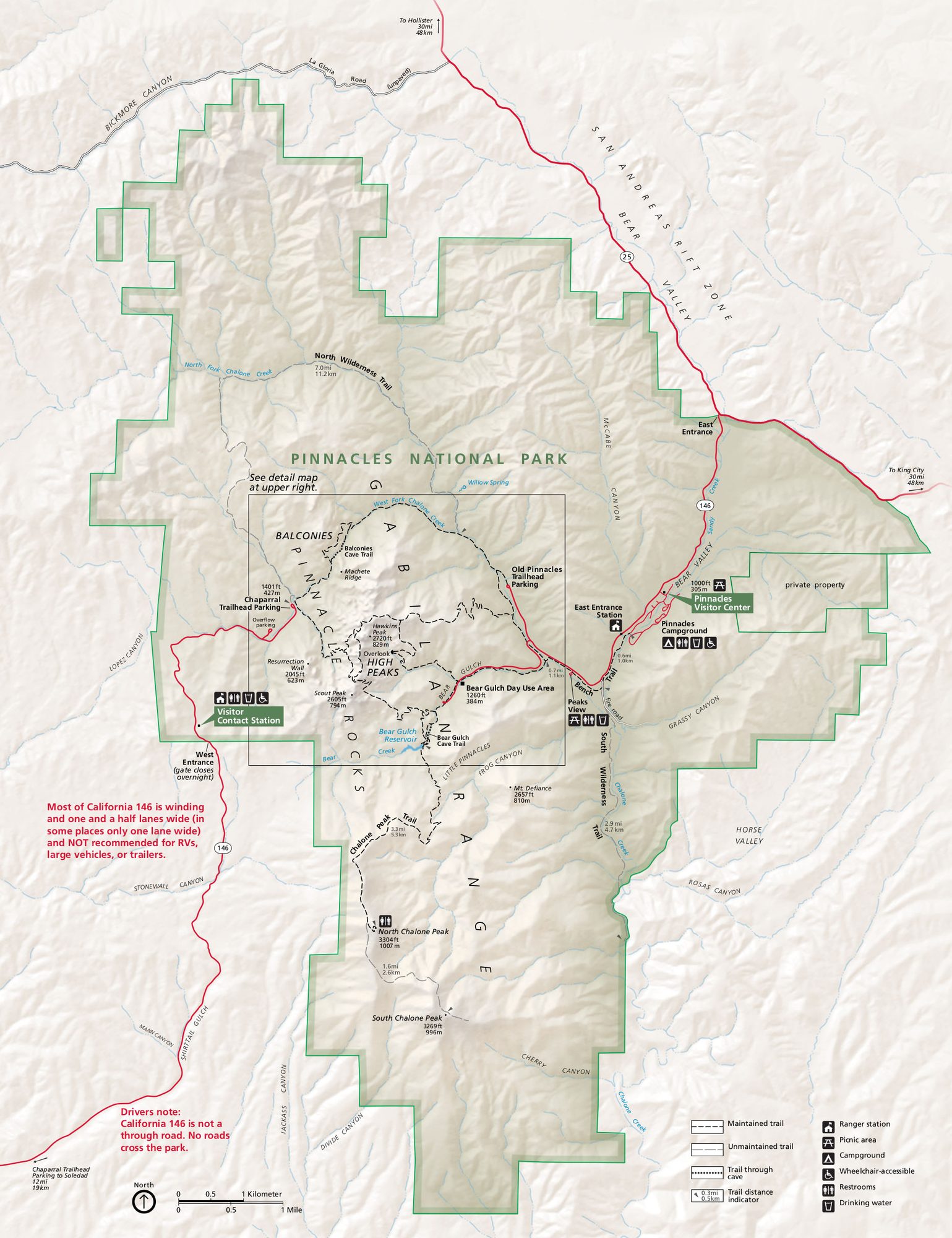
Getting there: The park, in the Coast Ranges of central California, has an east and a west entrance and no road between them. To the east entrance take US-101 to Gilroy from the Bay Area, then CA-25 and CA-146; it is about 1.5 hours from San Jose. The west entrance is reached from Soledad.
Which side: The east side has the visitor center, campground and the main trailheads; the west side has a road to a few short trails, and the two sides are linked only by a walk over the ridge.
Sights: Bear Gulch has a reservoir and a cave, and the High Peaks trail winds through narrow rock passages with cut steps; the Condor Gulch trail is a good place to see California condors.
Caves: Bear Gulch Cave is a talus cave that needs a torch; it is home to bats and closed for part of the year.
Time: A day allows one or two main trails; the full High Peaks loop takes half a day or more.
Season: February to May is mild and the wildflowers bloom; summer temperatures often exceed 35 C, so start early.
Where to stay: The east side has a campground; there are no hotels in the park, and lodging is in Hollister and Soledad.
Caution: On spring weekends and holidays the east side is busy and the car parks may fill; a seasonal shuttle runs on spring weekends from the campground overflow lot to Bear Gulch, and not at other times of year.
Map