Park of China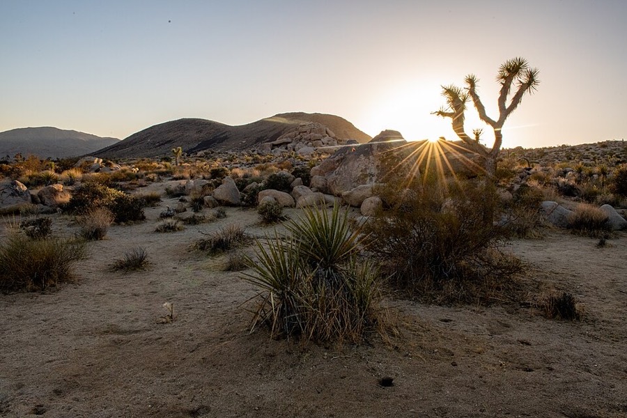
Overview
| Designation | US National Park |
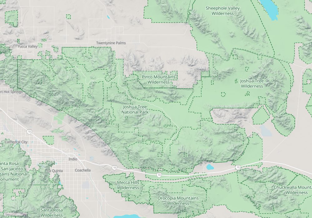
| Location | Southern California |
| Latitude, longitude | 33.9, -115.9 Google Maps |
| Nearby sites | Death Valley National Park 261km Search nearby |
| Area | 794,000 acres |
| Highest point | 5,814 ft |
| Nearby cities | Los Angeles |
| Themes | Desert, Plant, Stone, Hiking & climbing, Night sky & aurora |
About
Joshua Tree National Park is in Southern California. It became a US national park in 1994.
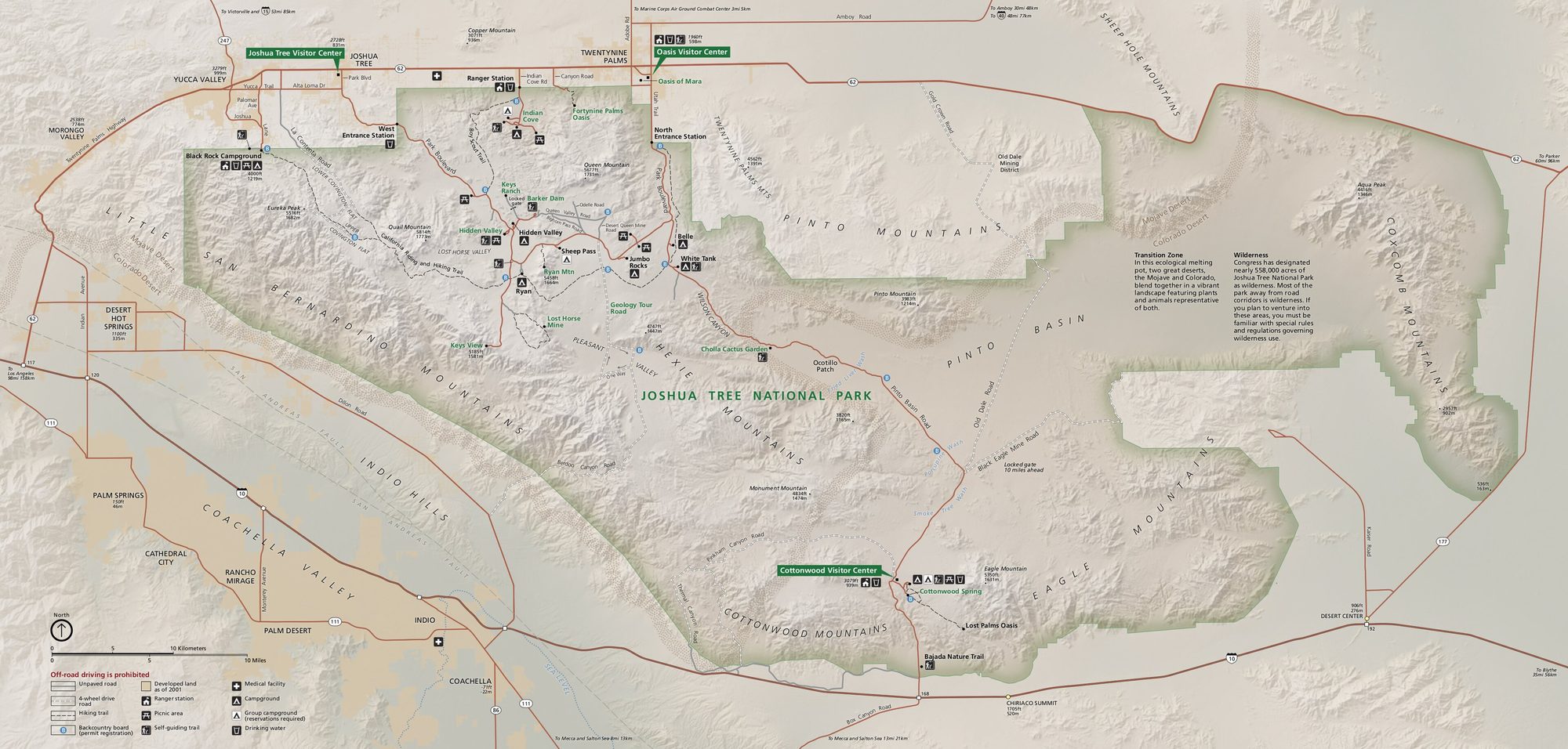
Visitor map
Travel tips
Getting there: the park is in the desert of southern California. Palm Springs, with an airport, is about 45 minutes from the west entrance, and Los Angeles is about 2.5 hours by car.
Entrances: there are three entrances. The west and north entrances are by the towns of Joshua Tree and Twentynine Palms, and the south entrance is at Cottonwood Spring on the Colorado Desert side.
Main sights: Hidden Valley is a short loop of about 1.6 km among boulders; Barker Dam has a loop trail around a small reservoir; Keys View looks over the Coachella Valley and the San Andreas Fault.
Plants: Joshua trees grow mostly in the higher, cooler Mojave Desert part of the park, while the lower Colorado Desert in the south has the Cholla Cactus Garden and ocotillo.
Rock: the park is a well-known climbing area, with many granite boulders.
Season: October to May is pleasant, and wildflowers bloom in March and April. In summer daytime temperatures often exceed 38 degrees Celsius, so go early and late and carry plenty of water.
Night sky: far from cities, the park is an International Dark Sky Park, good for stargazing on clear nights.
Where to stay: the park has nine campgrounds, popular in winter and spring and needing early booking; hotels are in the towns of Joshua Tree and Twentynine Palms. There is no food in the park and almost no fuel.
Map