Park of China
Overview
| Designation | US National Park |
| Latitude, longitude | 38.4, -109.9 Google Maps |
| Nearby cities | Phoenix, Denver, Las Vegas |
| Area | 337,600 acres |
| Nearby sites | Arches National Park, Capitol Reef National Park, Mesa Verde National Park, Black Canyon of the Gunnison National Park, Bryce Canyon National Park |
| Themes | Canyon, Desert, River, Arch, Hiking & climbing, Rafting & boat trips, Viewpoints & photography |
About
Canyonlands National Park is in the United States. It became a US national park in 1964.
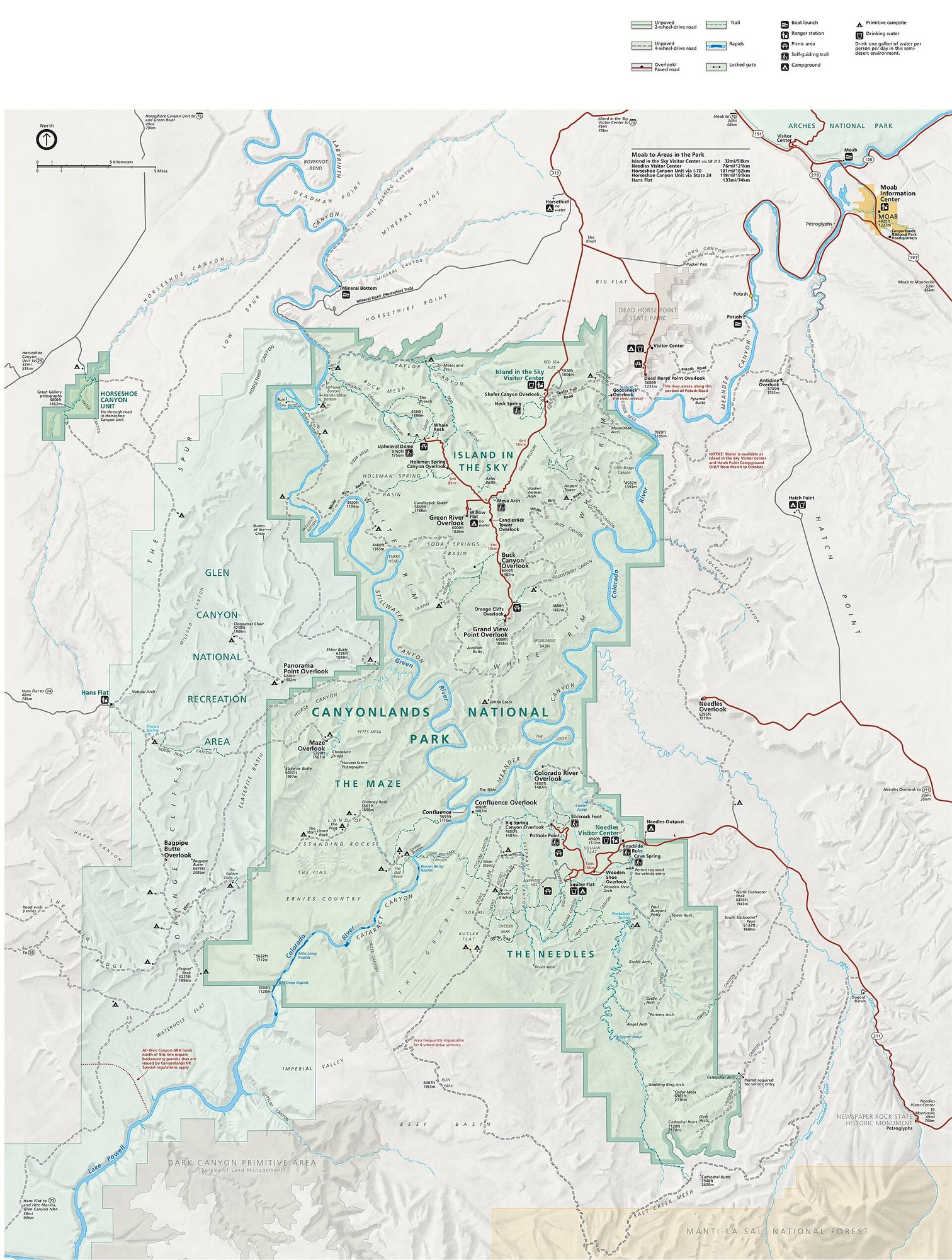
Visitor map
Travel tips
Getting there: the park is divided into districts that do not connect inside the park, and the entrances are far apart. The nearest town is Moab, which has a small airport and is about four hours' drive from Salt Lake City; most visitors base themselves there.
Island in the Sky: the northern district is about 40 minutes from Moab on a paved road, with overlooks above the canyons of the Colorado and Green rivers. It is the easiest district to visit.
The Needles: the southern district has red and white banded rock spires and more trails; it is farther from Moab and suits hikers.
The Maze: this is the most remote district, in the west, reached by dirt roads that need a high-clearance four-wheel-drive vehicle and backcountry experience.
Rivers: the Colorado and Green rivers can be rafted, and several operators in Moab run both flat-water and whitewater trips.
Time: Island in the Sky takes half a day to a day; adding the Needles takes another day; visiting all three needs three days or more.
Season: spring and autumn are comfortable; summer is very hot and unsuitable for walking on bare rock by day; there can be snow in winter.
Where to stay: there are only campgrounds in the park and no hotels; hotels are in Moab, which also lies near Arches National Park.
Caution: most of the park has no water or fuel, so carry plenty of water; overnight backpacking and backcountry driving need permits.
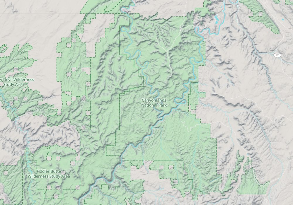
Map