Park of China
Overview
| Designation | US National Park |
| Location | Colorado |
| Latitude, longitude | 38.6, -107.7 Google Maps |
| Nearby cities | Denver, Salt Lake City |
| Area | 30,400 acres |
| Highest point | 9,040 ft |
| Nearby sites | Mesa Verde National Park 157km, Arches National Park 165km, Canyonlands National Park 193km, Great Sand Dunes National Park 210km, Rocky Mountain National Park 264km Search nearby |
| Themes | Mountain, River, Canyon, Cliff, Viewpoints & photography |
About
Black Canyon of the Gunnison National Park is in Colorado. It was first protected in 1933 as a national monument and became a US national park in 1999.
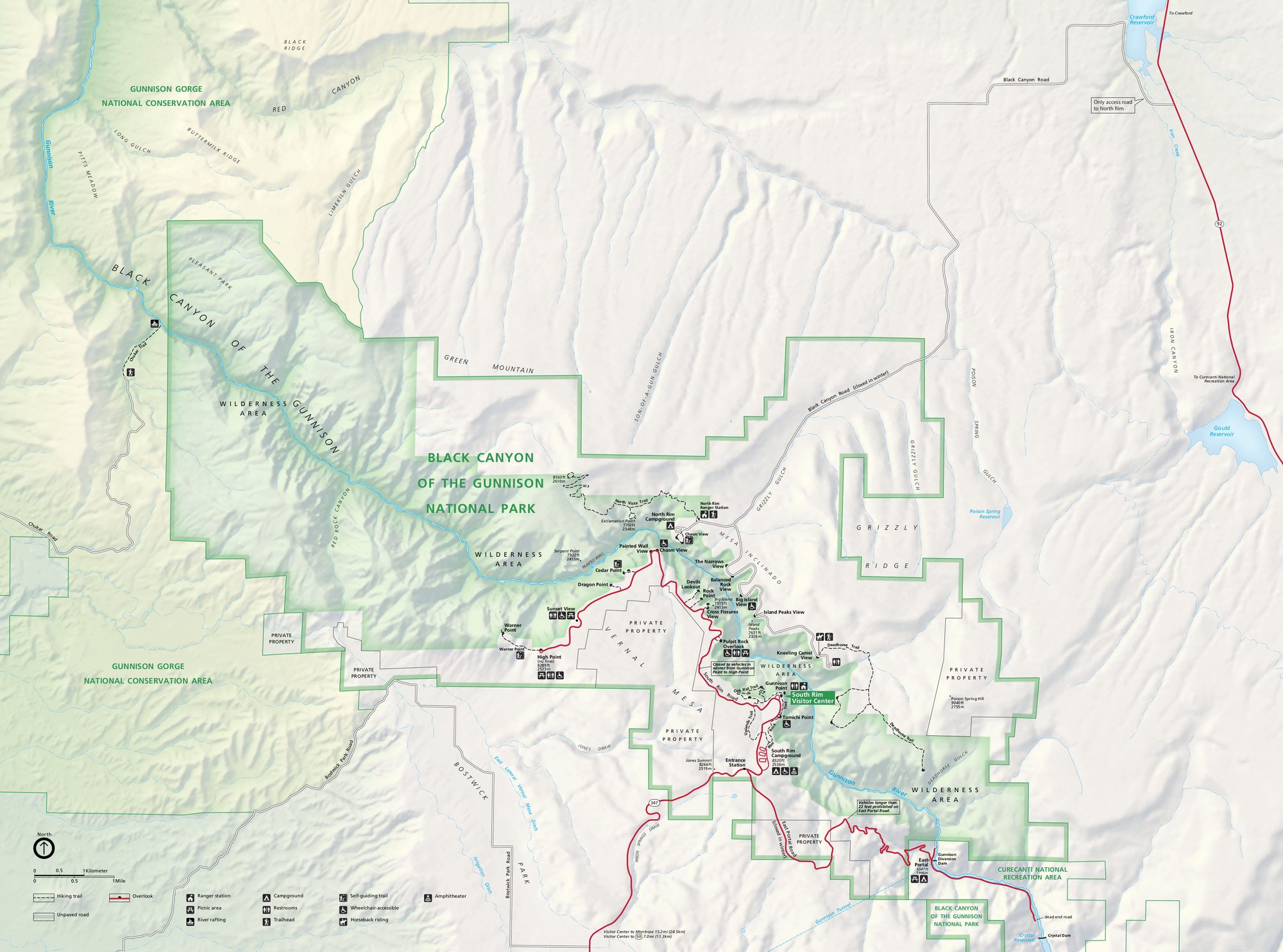
Visitor map
Travel tips
Getting there: the nearest town is Montrose, which has a small airport about 15 miles from the South Rim entrance; the larger airports at Denver and Salt Lake City are more than six hours' drive away.
South Rim: the South Rim Road is about 7 miles long with a dozen or so overlooks. The best known is the Painted Wall, a cliff of roughly 700 metres, the highest in Colorado.
North Rim: the north side is reached by a long detour on a gravel road that closes in winter; there are few visitors.
Into the canyon: the routes to the river are steep and unmarked, require a permit from the visitor centre and suit experienced hikers; most visitors stay on the rim overlooks.
Time: half a day to a day is enough for the South Rim.
Season: May to October is the easiest time; in winter parts of the South Rim Road are not ploughed and can be used for skiing or snowshoeing.
Where to stay: there is a campground on the South Rim that should be reserved; other lodging is in Montrose or around Crested Butte.
Caution: many edges have no railing, so keep well back; the altitude is above 2,400 metres and weather changes quickly.
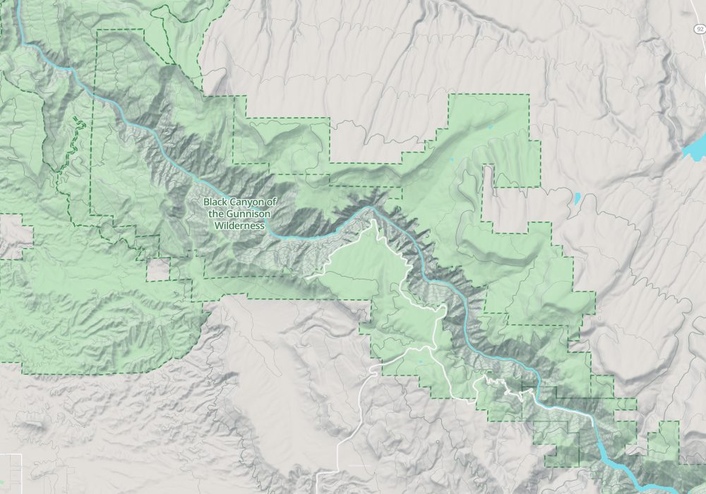
Map