 Park of China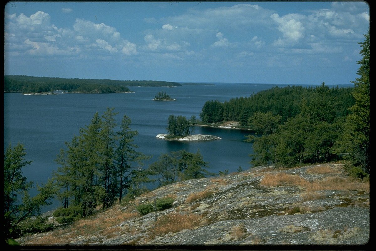
Overview
| Designation | US National Park |
| Location | Northern Minnesota, on the Canadian border |
| Latitude, longitude | 48.5, -92.5 Google Maps |
| Nearby cities | Duluth, Thunder Bay, Brainerd |
| Highlights | Lakes, islands, forests |
| Area | 218,000 acres |
| Nearby sites | Isle Royale National Park 265km Search nearby |
| Themes | Lake, Forest, Island, Rafting & boat trips, Night sky & aurora |
About
Voyageurs National Park is in northern Minnesota, on the border with Canada. Its main features are lakes, islands and forests.


Visitor map

Travel tips
What it is: Voyageurs is mostly water, about a third of its area, and most sights can only be reached by boat; roads end at the lakeshore.
Getting there: The nearest airport is the small one at International Falls; most people drive about 5 hours from Minneapolis or about 3 hours from Duluth to the park edge.
Entrances: The three main lake areas each have a visitor center: Rainy Lake east of International Falls, and Kabetogama Lake and Ash River on the south side. Water is the main way in.
Boat tours: In summer guided boat tours run from the Rainy Lake Visitor Center to the Kettle Falls area, where the old Kettle Falls Hotel can be reached only by boat.
Own boat: Boats and houseboats can be rented at the lakes; among the many islands you can paddle a canoe or boat to a campsite.
Season: boating runs from May to September; in winter the lakes freeze, with skiing and ice fishing; on clear nights the aurora is sometimes seen.
Time: Three days is about right.
Where to stay: Boat-in campsites inside the park need reservations; hotels are in International Falls, and there are resorts outside the park.
Map
