Park of China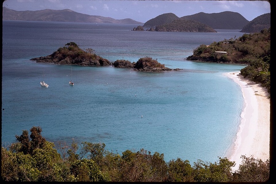
Overview
| Designation | US National Park |
| Location | On St. John in the US Virgin Islands, in the Caribbean |
| Latitude, longitude | 18.3, -64.7 Google Maps |
| Nearby sites | Search nearby |
| Nearby cities | Charlotte Amalie |
| Highlights | Island |
| Area | 13,000 acres |
| Highest point | 1,277 ft |
| Themes | Island, Ocean, Forest, Hill, Beach, Bay, Wildlife, Coral reefs, Beach resorts & diving, Hiking & climbing |
About
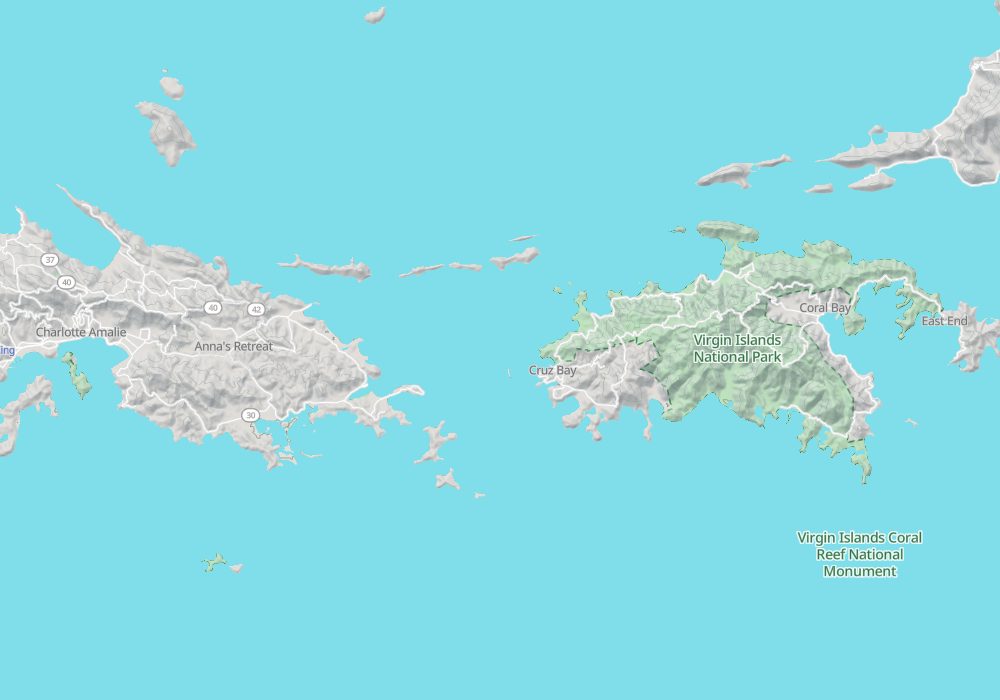
Virgin Islands National Park is on the island of St. John in the US Virgin Islands, in the Caribbean, east of Puerto Rico.
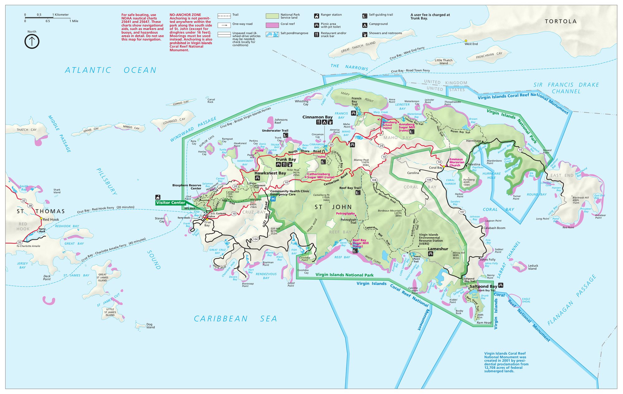
Visitor map
Travel tips
Location: The park covers about two thirds of St. John, and the main settlement on the island is Cruz Bay.
Getting there: There is no airport; fly to neighbouring St. Thomas, take a taxi to Red Hook and then a ferry of about 20 minutes to Cruz Bay. Ferries are frequent. Visitors who are not US citizens need a passport.
On the island: The main roads are narrow and winding, and traffic drives on the left; most visitors rent a jeep or take shared taxis.
Beaches: Trunk Bay has an underwater snorkelling trail suited to beginners; Cinnamon Bay has a campground and equipment rental; green turtles are often seen at Maho Bay.
History: The Annaberg ruins preserve a sugar mill from the Danish plantation era and are a place to learn about the island's sugar and slavery history.
Time: Three or four days cover the main beaches and a hillside trail or two.
Season: December to April is the dry, comfortable and busy season; June to November is the hurricane season.
Where to stay: Cinnamon Bay has a campground and tent cabins; hotels and guesthouses are in and near Cruz Bay.
Map