Park of China
Overview
| Designation | US National Park |
| Location | Northern Washington State |
| Latitude, longitude | 48.8, -121.3 Google Maps |
| Area | 684,000 acres |
| Highest point | 9,206 ft |
| Nearby cities | Seattle |
| Nearby sites | Olympic National Park 204km, Mount Rainier National Park 213km Search nearby |
| Themes | Mountain, Snow Mountain, Forest, Glacier, Lake, Hiking & climbing, Scenic drives |
About
North Cascades National Park is in northern Washington State. It became a US national park in 1968.
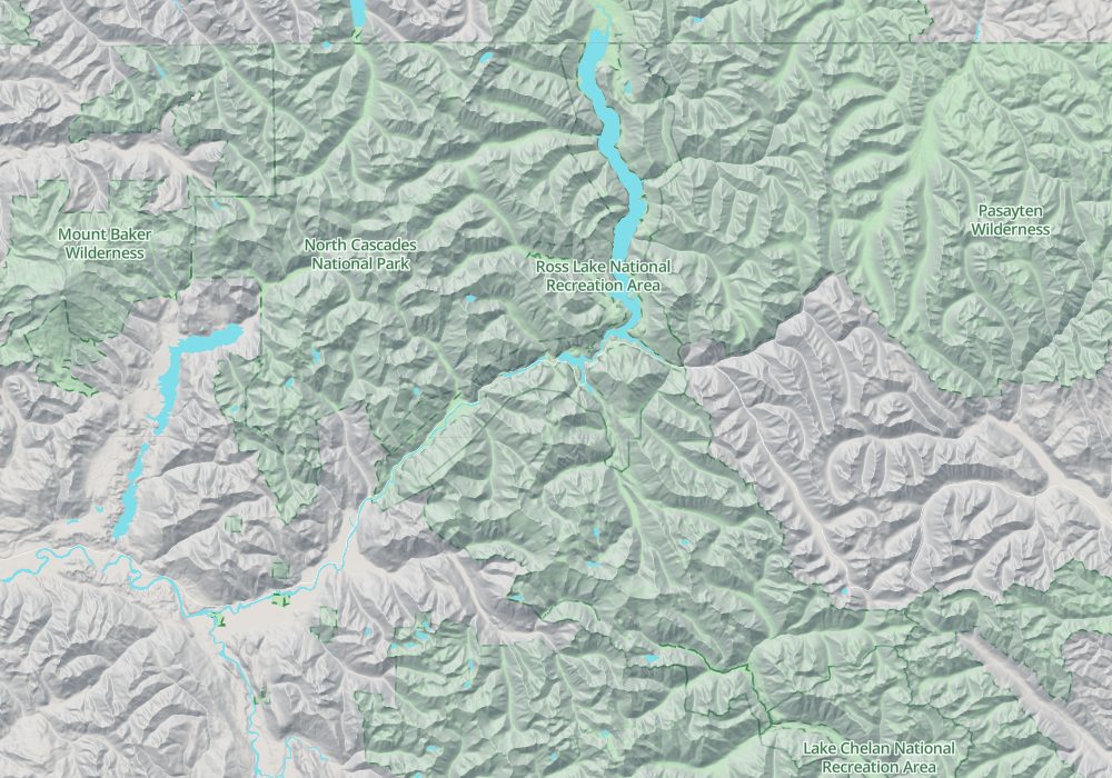
Visitor map

Travel tips
Getting there: From Seattle drive north on I-5, then east on WA-20, the North Cascades Highway, to Newhalem on the west side of the park; the drive is about three hours and there is no public transport inside the park.
The highway: WA-20 is the only road through the park and is closed by snow and avalanches in winter, usually from November to April; the spring opening date varies from year to year.
Sights: The North Cascades Visitor Center is near Newhalem. Along the road, the Diablo Lake overlook shows water coloured blue-green by glacial silt, and Ross Lake can be reached by boat or on foot.
Trails: The Cascade Pass trail is the best-known hike, leading to alpine meadows ringed by glaciers; the trailhead is at the end of the Cascade River Road, which leaves WA-20 at Marblemount; it is about 23 miles (37 km) long, mostly gravel, and usually opens around the end of June.
Stehekin: The community of Stehekin, at the south end, has no road link to the outside; reach it by ferry or floatplane from Lake Chelan, or on foot.
Season: The roads and trails are mostly free of snow only from July to September; larches turn yellow in October; mosquitoes are common in summer.
Where to stay: The park has roadside campgrounds and permit-only backcountry sites; for hotels most people use towns along the highway, such as Marblemount on the west and Winthrop on the east.
Caution: Overnight backcountry trips need a permit, and mountain weather changes fast, with snow possible even in summer.
Map