 Park of China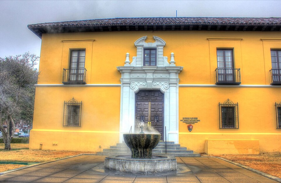
Overview
| Designation | US National Park |
| Latitude, longitude | 34.5, -93.0 Google Maps |
| Nearby sites | Monumental Earthworks of Poverty Point, Gateway Arch National Park, Cahokia Mounds State Historic Site |
| Highlights | Hot springs |
| Area | 5,500 acres |
| Nearby cities | Hot Springs AR, Little Rock |
| Themes | Geothermal, Spring, Building, Hot springs, Hiking & climbing |
About
Hot Springs National Park is in the town of Hot Springs in western Arkansas, about 50 miles from Little Rock. Its main feature is its hot springs.
Map
Travel tips
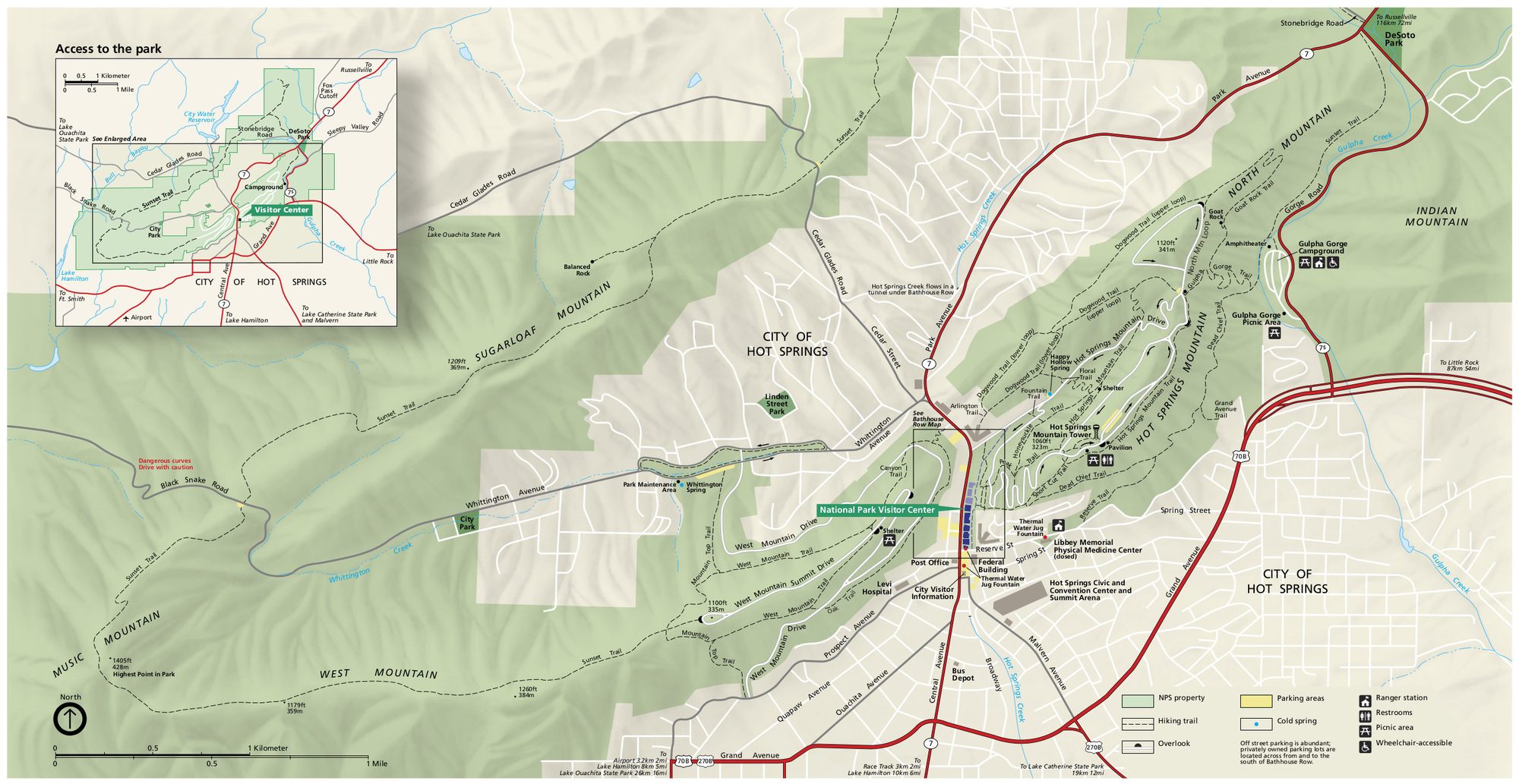
Getting there: the town of Hot Springs is in west-central Arkansas, about 90 km from the state capital Little Rock, around an hour by car. The nearest major airport is at Little Rock.
The park: this is the smallest national park in the United States, and it sits right against the town; you can reach it on foot along Central Avenue.
Bathhouse Row: this street has eight early 20th-century bathhouses, one used as the visitor center and another as a museum; some still offer baths.
The water: the spring water rises from underground at about 62 degrees Celsius. There are fountains along the street where you can fill bottles with spring water for free.
Mountain Tower: the Hot Springs Mountain Tower gives a view over the town and the Ouachita hills.
Trails: the park has more than 40 km of trails around Hot Springs Mountain and West Mountain, and short loops can be done in an hour or two.
Time: half a day to a day is enough; add half a day if you want to bathe.
Season and lodging: spring and autumn are pleasant and summer is muggy. The town has hotels and motels, including old hotels that still use the spring water, and the park has one campground.