 Park of China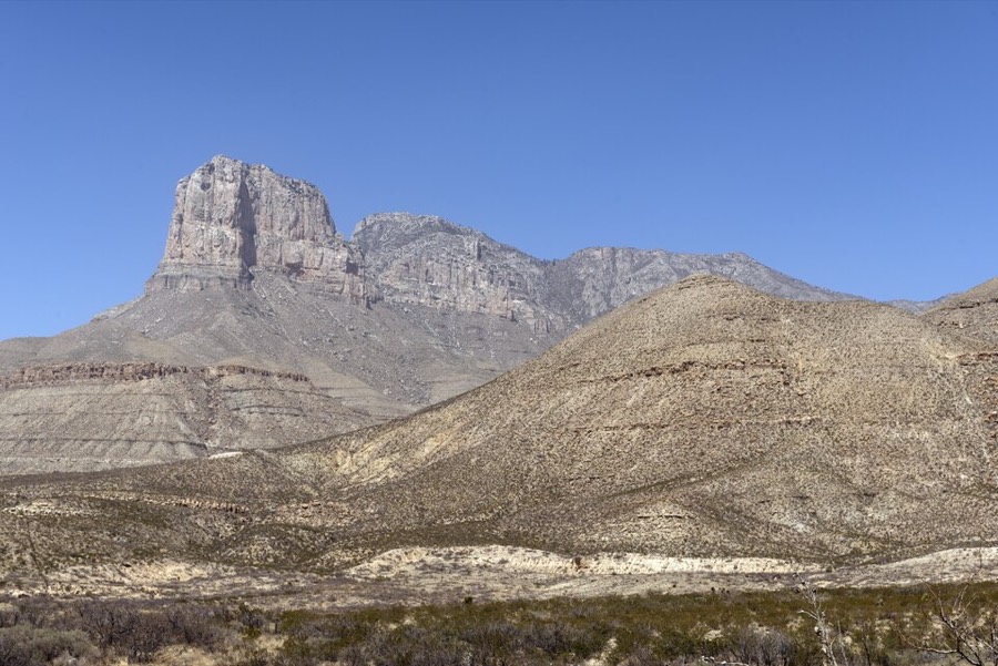
Overview
| Designation | US National Park |
| Location | West Texas |
| Latitude, longitude | 31.9, -104.9 Google Maps |
| Nearby cities | Carlsbad |
| Area | 86,400 acres |
| Highest point | 8,751 ft |
| Nearby sites | Carlsbad Caverns National Park 36km, White Sands National Park 154km Search nearby |
| Themes | Peak, Desert, Canyon, Hiking & climbing, Autumn colours, Fossils & geological sites |
About
Guadalupe Mountains National Park is in West Texas. It became a US national park in 1972.
Visitor map

Travel tips
Getting there: the park lies on the western edge of Texas. The nearest big city is El Paso, about 180 km to the west, with an airport. Carlsbad in New Mexico, about 90 km to the north, is the nearest place with lodging.
Services: there are almost no shops, restaurants or fuel in the park, so bring water, food and fuel.
Entrances: the main visitor center is at Pine Springs, on US 62/180. McKittrick Canyon, on the north-east side, has its own entrance, open in daylight and closed in the evening.
Guadalupe Peak: the highest point in Texas is about 13 km round trip, takes 6 to 8 hours, climbs about 900 m, and is steep, rocky and windy throughout.
McKittrick Canyon: the canyon has a stream and broadleaf woodland, and is at its best in autumn colors from late October to early November, the park's most popular season.
Other trails: for an easier day, take the short trails near Pine Springs or the dry canyon of Devils Hall.
Season: spring and autumn are better; summer is hot with frequent afternoon thunderstorms, spring is very windy and dusty, and the summit is cold in winter.
Where to stay: the park has campgrounds at Pine Springs and Dog Canyon; Dog Canyon is on the north side and is reached by a long detour through New Mexico. Backpacking needs a permit.
Map
