Pamir Plateau, Xinjiang 新疆帕米尔高原
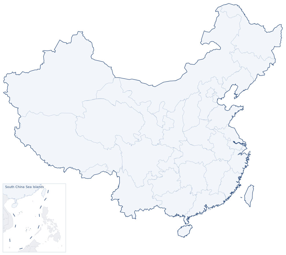
The Pamirs, known in ancient China as the Congling ("Onion Range"), reach into the southwestern tip of Xinjiang, where Taxkorgan Tajik Autonomous County is the center. Averaging over 4,000 meters, the plateau links snow peaks, glaciers and high pastures; the ancient Silk Road crossed it on the way west.